Aerial Photography and Orthophotography
MAPS owner and director has over 3 decades of hands-on aerial photographic and mapping experience with an added bonus of 7 years in practical forestry. Being backed with this experience is an advantage for providing sound advice on a range of products that can be applied to many applications in forestry, catchment control, roading and farming alike.
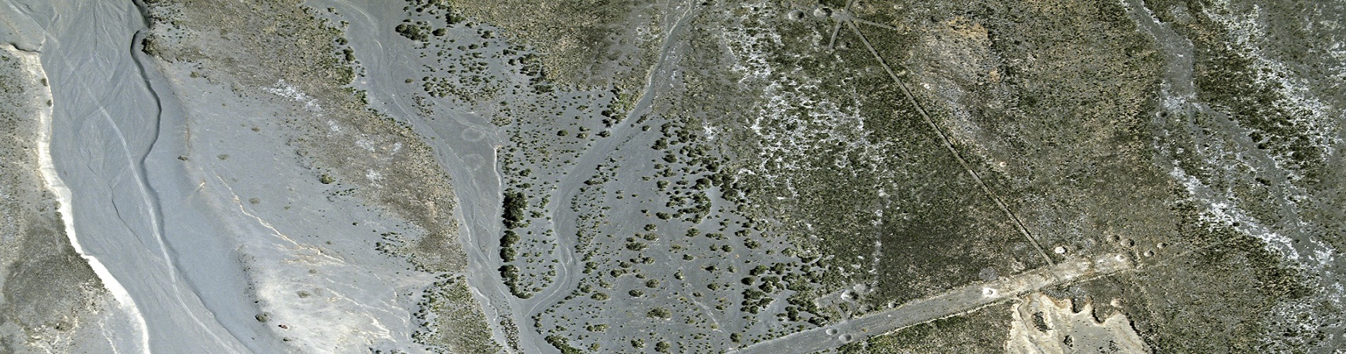
To get accurate mapping done in steep to rolling country, processing an aerial photography to orthophotography is essential.
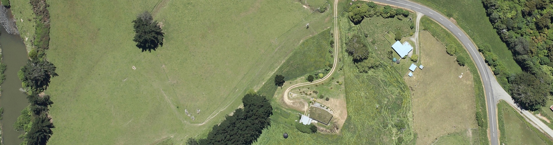
An ordinary unrectified photograph can be acceptable to take measurements from in flat country, provided it is a truly vertical photo. However its accuracy limitations must be accepted.
An advantage of orthophotography is that the photos have been corrected for scale and other major distortions inherent in Aerial Photographs. Net stocked areas of Forestry blocks and other detail can be accurately drawn from them, provided the detail is clear enough to be identified. Because of the mountain of information that is available on a photo, the mapping of all this detail can end up many times cheaper than using a GPS.
We can provide new orthophotography at very competitive prices, particularly in the lower North Island or can orthorectify most existing photography.
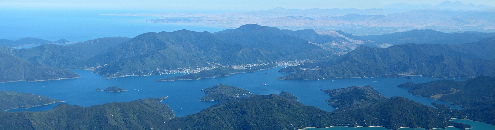
MAPS can provide a number of aerial photographic services eg; colour vertical, enhanced colour, black and white, orthophotos, farm verticals and even obliques for a picturesque scene or homestead - plus the added value in-house mapping products. The best part is, not only do you get professional friendly service but the price is very competitive as well. Give MAPS a call on 06 222 3470 or email your enquiry to forestrymaps@gmail.com.