Farm Mapping and Orthophotography
MAPS has provided Large Stations, Farms and lifestyle blocks throughout NZ with maps showing paddocks and internal detail mapping.
A large proportion of Farm mapping in NZ is now done via the many Farm software packages now available.
To get accurate mapping done in steep to rolling country all these software packages require either GPS or orthophotography as an information source. An ordinary unrectified photograph is suitable in flat country.
An advantage of GPS is its accuracy and positive identification of fences and gates that may be hard to identify on a photograph. Generally, only basic outline maps of paddocks and tracks can be produced at a similar cost to using Aerial Photography.
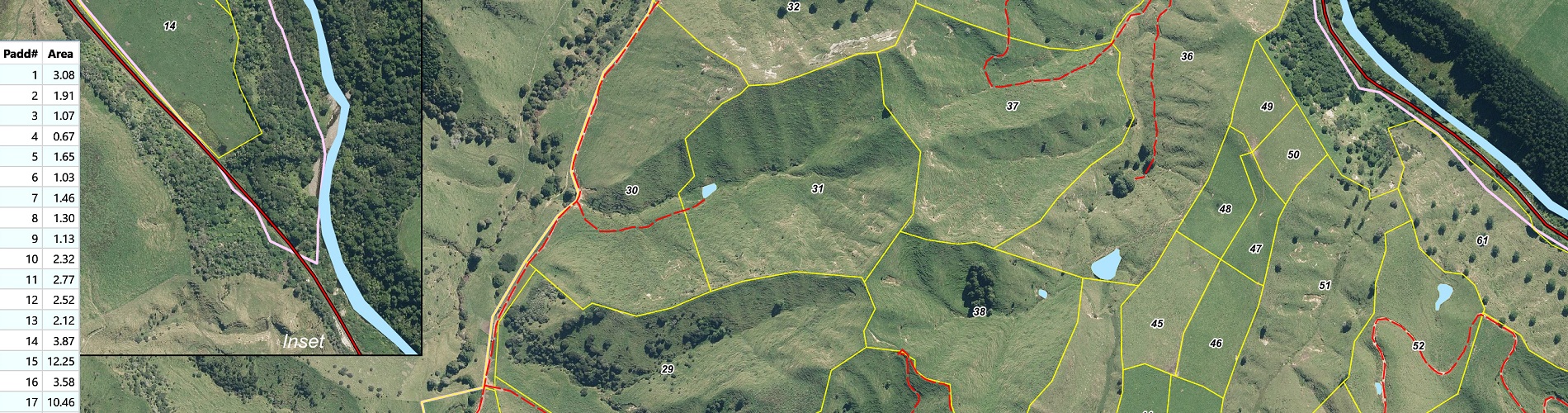
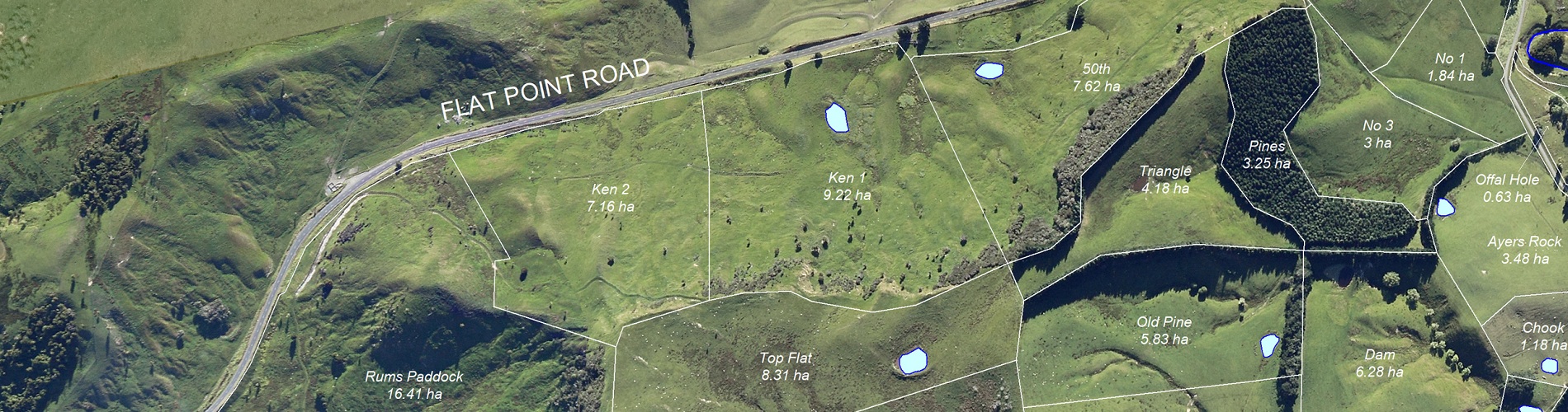
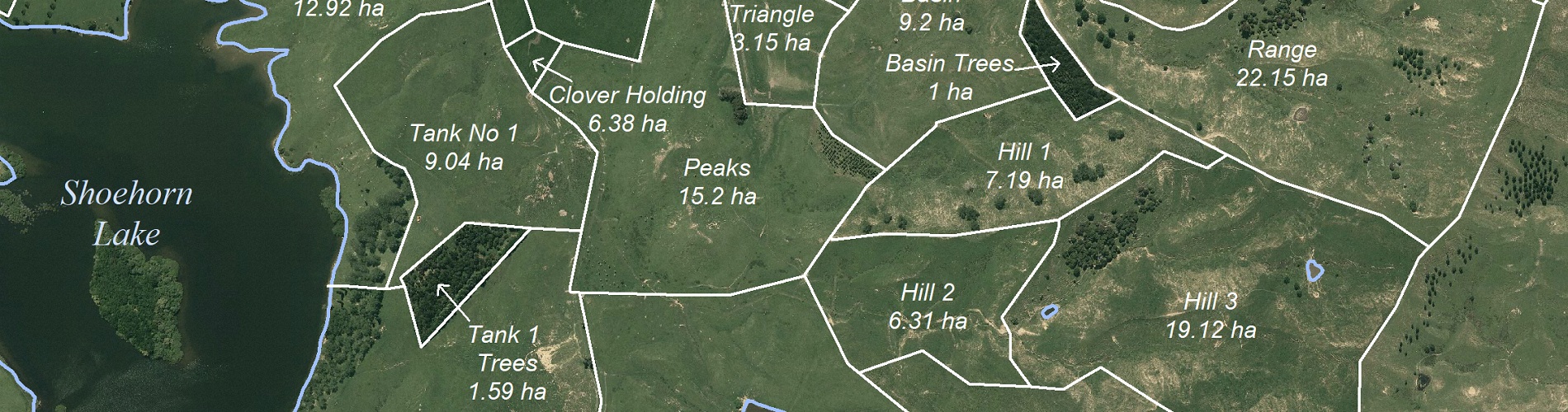
An advantage of orthophotography is that the photos have been corrected for scale and other major distortions inherent in Aerial Photographs. Paddock areas and other detail can be accurately drawn from them provided they can be seen. Because of the mountain of information available on a photo the mapping can end up many times cheaper if an accurate detailed map is required.
MAPS can provide new orthophotography at very competitive prices, particularly in the lower North Island or can orthorectify most existing photography.