Manawatu Aerial Photo Services started business in 1990 and became a registered company in 1994.
MAPS prime activity is the Forestry Mapping of Forest Estates and the associated photography of these areas when required, using SCAP (Small Camera Aerial Photography).
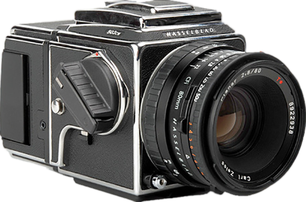
The company used a medium format Hasselblad camera with a variety of lenses for many years. We now use a Canon digital camera with a large image sensor. The photos are converted to orthophotos using Orthorectification software and a digital terrain model.
Read More


Why Choose Us
Manawatu Aerial Photos Services has been independently mapping for over 20 years and has over 40 years experience in survey mapping and aerial photography.
Accurate Mapping
ACCURATE MAPPING is only as accurate as the data source that is being used, and is reliant on the quality of the photo and its interpretation. Mapping from quality orthophotography is paramount.
Orthophotography
This is a processed Aerial Photograph taking out its image displacements due to camera tilt, lens distortions and relief displacement, making it become a uniform scale, enabling accurate mapping over every part of it.
Obliques
Taken from a high point, which is neither horizontal nor perpendicular to the area being photographed.
Vertical
photography looking down on a subject at an angle of less than or equal to three degrees from the vertical.


